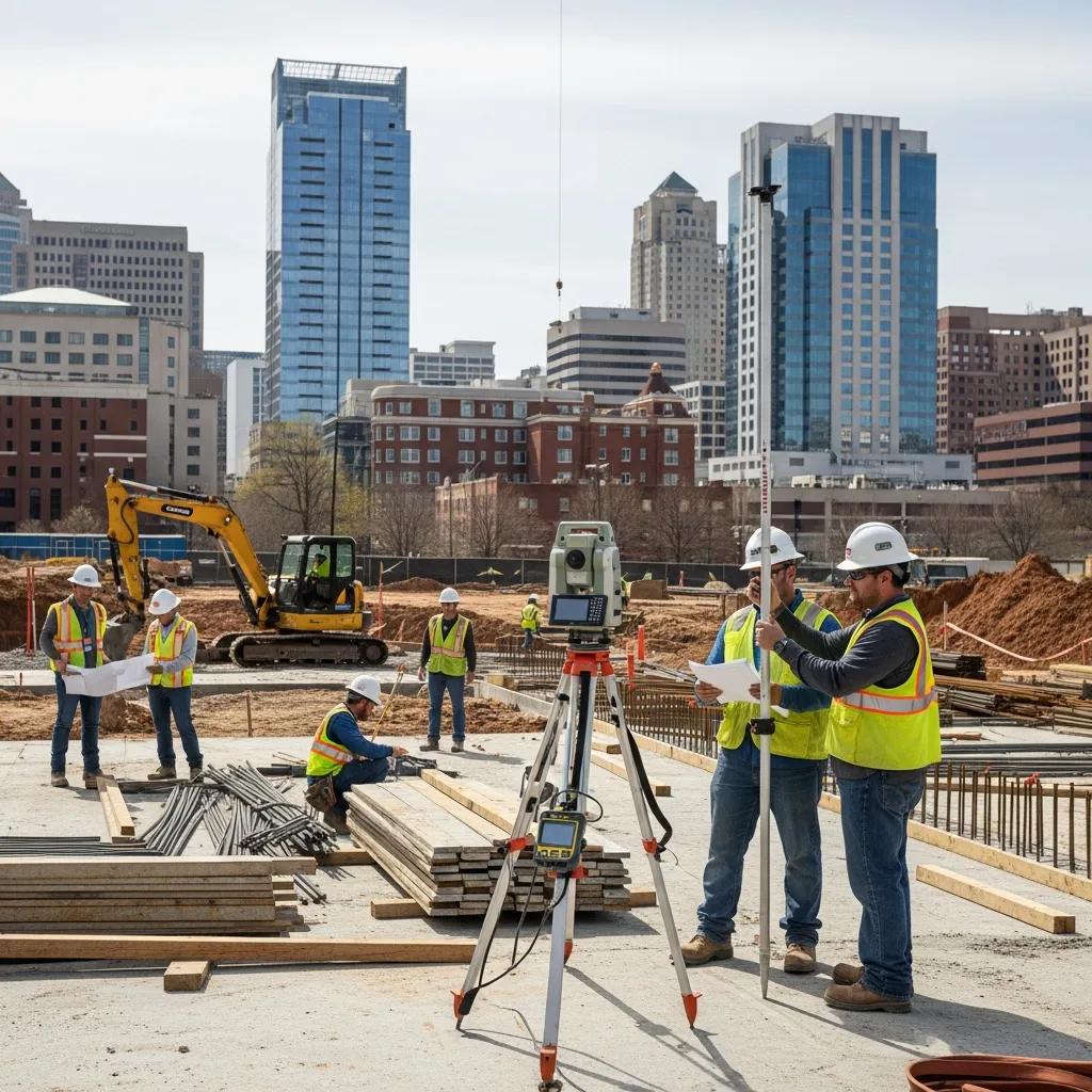
Commercial Project Layout & Coordination in Columbia, SC: Precise, Field-Ready Services That Keep Your Build on Track
Commercial layout and coordination bring survey-grade field control, model-driven workflows, and on-site verification together so teams avoid rework and stay on schedule. This guide shows how millimeter-accurate tools—like Robotic Total Stations—paired with VDC, BIM, and 3D scanning resolve everyday commercial construction issues across Columbia, SC and the Southeast. You’ll learn why tiny tolerances matter, which markets gain the most, how point-cloud workflows fold into coordination, and which deliverables make installations and inspections smoother. We outline practical steps to prevent misplaced anchor bolts, avoid MEP clashes, and produce verifiable as-built records that simplify renovation and turnover. Throughout, we reference modern digital practices—clash detection, digital twins, and coordinated BIM deliverables—so project teams can turn precision into real cost and schedule savings, and see how Conway Coordination and Layout Services (CCLS) applies these methods locally and how to request a tailored consultation.
Why Is Precision Critical in Commercial Construction Layouts in Columbia, SC?
Precision in commercial layout means transferring design coordinates to the field with verified control so what gets built matches the plans. Accurate transfer prevents misalignment that leads to rework, schedule slips, and wasted materials. Achieving millimeter-level accuracy reduces downstream RFIs and costly rip-and-replace work—directly protecting time and budget. On Columbia’s urban and retrofit projects, tight tolerances and crowded MEP routing make that accuracy essential for on-time openings and meeting regulatory expectations. Below are the core, practical benefits that show why precision is mission-critical for commercial builds.
Precision delivers three measurable benefits:
- Reduce rework and waste: Correct layout keeps connections and penetrations where they belong and avoids demolition to fix mistakes.
- Protect the schedule: Verified layout helps trades install in sequence and reduces conflicts that cause delays.
- Improve safety and compliance: Accurate layout lowers the risk of corrective work and supports inspection readiness.
Realizing these benefits requires disciplined control setups and verification checkpoints before trades mobilize. The next section explains the common error types accurate layout prevents and the workflows that eliminate them.
How Does Accurate Layout Prevent Costly Construction Errors?
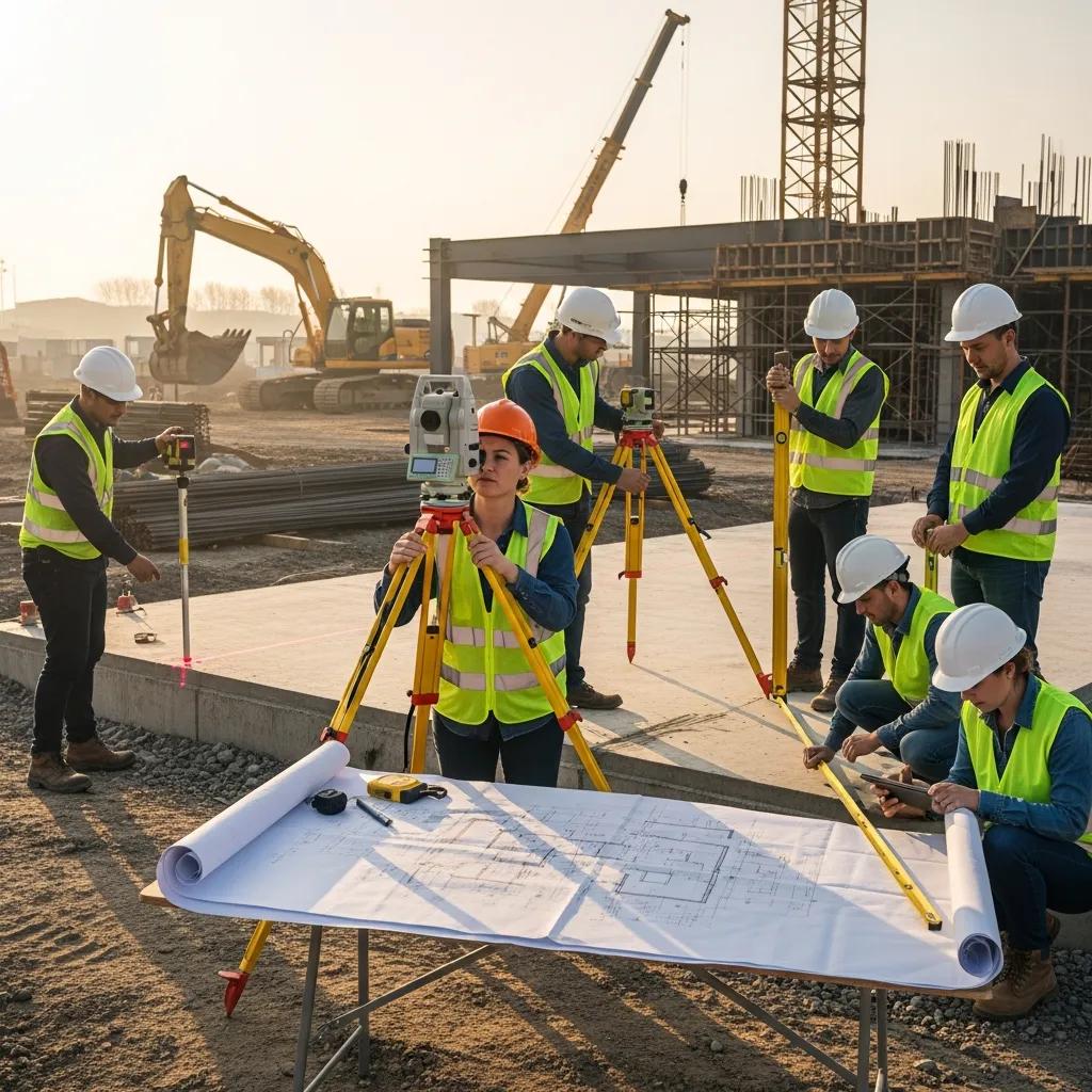
Accurate layout starts with a verified control network, moves coordinates from model to site, and confirms placements with measured checks before irreversible work begins. Common mistakes—misplaced anchor bolts, off-grid structural grids, and MEP penetrations in the wrong place—usually come from poor control or one-off layout methods that lack verification. Using repeatable steps such as control locking, prism-based coordinate transfer, and immediate on-site checks lowers rework and improves install productivity. For example, a verified anchor-bolt layout means structural steel fits as intended, avoiding costly downtime and shop rework. Those verification checkpoints also reduce disputes over tolerances and keep subcontractor coordination predictable so the project progresses smoothly.
What Local Challenges Affect Commercial Project Coordination in Columbia?
Teams in Columbia face local constraints—tight urban footprints, older commercial buildings, and varying permitting timelines—that raise coordination complexity and the need for precise layout. Urban infill sites often offer limited space for staging, so layout errors can quickly ripple into schedule and logistic problems. Older buildings bring unknown as-built conditions that must be captured and fed into BIM so new systems coexist with legacy structure. Local permitting windows and inspection practices favor clear, verifiable documentation showing compliance and dimensional conformance. Meeting these challenges requires both technology—accurate survey instruments and 3D scanning—and disciplined processes that convert measured conditions into coordinated construction sequences without surprises.
What Specialized Layout & Coordination Services Does CCLS Offer in Columbia?
Our specialized layout and coordination services pair precise field layout with model-based coordination and scan-backed verification to deliver install-ready information and cut field conflicts. Core services include Robotic Total Station layout for dimensional transfer, VDC/BIM coordination for clash detection and sequencing, and 3D scanning for as-built capture and verification. Each service maps to specific use cases—anchor-bolt layout, MEP coordination, and renovation verification for retrofit work. Below is an at-a-glance comparison to help teams pick the right mix of deliverables and turnaround expectations.
The following table summarizes core layout and coordination services, their typical applications, deliverables, and expected on-site accuracy:
| Service | Typical Applications | Deliverables |
|---|---|---|
| Robotic Total Station Layout | Anchor bolts, structural grids, equipment set points | Field layout points, verified stake locations, documented as-built marks |
| VDC / BIM Coordination | Clash detection, construction sequencing, shop-drawing coordination | Coordinated models, clash reports, phased installation plans |
| 3D Scanning & Point Cloud Services | As-built capture, renovation verification, tolerance checks | Registered point clouds, deviation maps, scanned elevations |
This comparison shows how each discipline contributes to a coordinated workflow that reduces RFIs and improves install rates. Many projects combine Robotic Total Station layout with VDC coordination and scanning to form a single verification loop that closes design intent to field reality. For Columbia projects seeking tailored service packages or implementation help, Conway Coordination and Layout Services (CCLS) offers consultative planning and field execution—request a consultation to review scope and deliverables.
How Does Robotic Total Station Layout Ensure Millimeter Accuracy?
Robotic Total Station layout delivers millimeter accuracy by establishing a reliable survey control network, precisely centering the instrument, tracking a prism during layout, and transferring model coordinates directly to measured field points. The workflow starts with control tied to project coordinates, then instrument calibration and prism-locking for continuous positional feedback. Teams transfer grid lines, anchor bolt locations, and equipment setting points from model to field and run verification checks to confirm tolerances before downstream trades proceed. This closed-loop approach reduces manual measurement errors, speeds repetitive point setting, and produces documented verification showing installations meet specified tolerances—improving constructability across the project.
What Are the Benefits of VDC and BIM Coordination for Commercial Projects?
VDC and BIM coordination reduce field clashes and streamline installation by combining multi-discipline models, running automated clash detection, and issuing coordinated deliverables trades can use for shop drawings and sequencing. The process usually includes model import, clash identification, trade resolution meetings, and release of coordinated models and clash reports for the field. Deliverables—clash logs, installation sequences, and updated models—cut RFIs and change orders during installation. They also support prefabrication and modular assembly by providing accurate spatial information up front, compressing schedules and reducing on-site labor.
Which Industries Benefit from CCLS’s Commercial Layout Services in Columbia?
Precision layout and coordination support many industries by tailoring accuracy and deliverables to sector needs—tolerance requirements, regulatory compliance, and sequencing constraints. Common beneficiaries include retail and office fit-outs with fast tenant turnarounds, healthcare facilities with strict mechanical tolerances, industrial plants requiring heavy-equipment setting, manufacturing lines needing exact alignment, and historic preservation projects that demand thorough as-built documentation. The table below shows how services apply and what key deliverables each industry typically expects.
| Industry | Typical Use Cases | Key Deliverables |
|---|---|---|
| Retail & Office | Tenant fit-outs, storefronts, service penetrations | Gridlines, storefront set locations, MEP penetration maps |
| Healthcare | Surgical suites, tightly coordinated MEP routing | High-accuracy layout points, verification reports, updated BIM |
| Industrial & Manufacturing | Equipment foundations, conveyor alignment | Anchor layouts, machine-center coordinates, verification maps |
| Historic Preservation | Retrofit and adaptive reuse documentation | Detailed point clouds, deviation maps, measured drawings |
This breakdown shows how deliverables scale from basic layout points in retail to rigorous verification and documentation in healthcare and industrial settings. After assessing sector needs, project teams usually combine services to deliver install-ready data that aligns with compliance and procurement strategies; contact Conway Coordination and Layout Services (CCLS) for tailored sequencing and verification plans.
How Are Retail and Office Building Layouts Tailored for Columbia Projects?
Retail and office layouts emphasize schedule-driven work—storefront setting, tenant partitions, and service penetrations—where speed and accuracy affect lease-up dates and tenant satisfaction. On Columbia projects that often means tight sequencing for limited site space and phased turnovers that allow partial occupancy while work continues. Layout teams focus on fast, verified transfers of storefront datums, ceiling grids, and core penetrations while coordinating MEP routing to avoid late-stage clashes. The result is clear, trade-ready markers and verification documentation that support on-time openings and reduce punch-list items at turnover.
What Are the Unique Requirements for Healthcare and Industrial Facility Coordination?
Healthcare and industrial facilities require tighter tolerances, dense MEP coordination, and traceable verification because of patient-safety standards and precision equipment alignment. Healthcare projects typically include strict mechanical and plumbing tolerances, redundant systems, and code-driven inspection criteria that benefit from scans and coordinated models. Industrial projects need exact machine-center coordinates and foundation anchoring data to meet vendor specs. In both sectors, integrating as-built scans with BIM gives installation teams verified spatial information that minimizes downtime and preserves critical system performance.
How Does 3D Scanning Enhance As-Built Documentation and Renovation Accuracy?
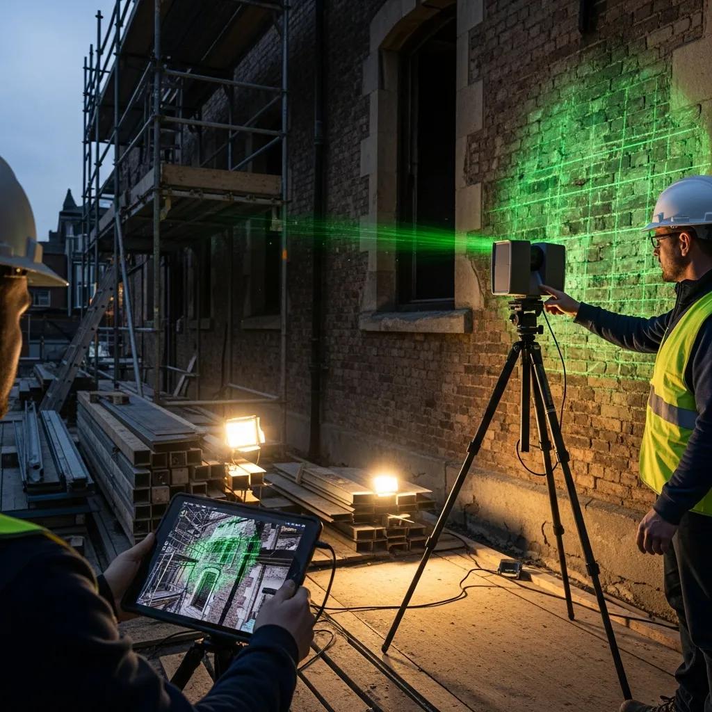
3D scanning captures dense point clouds of existing conditions that become a single source of truth for renovation planning and clash mitigation. Scanning reduces uncertainty by turning measured realities into usable digital assets. Point clouds support accurate dimensioning, create meshes for visualization, and let teams compare design models to field conditions through deviation analysis. Feeding scanned outputs into BIM enables design teams to validate constructability against reality and cut change orders during retrofit phases. The table below clarifies common scan types, their outputs, and practical use cases for verification and renovation planning.
| Scan Type | Output | Use Case / Benefit |
|---|---|---|
| Tripod terrestrial scanning | High-density point clouds with accurate geometry | Detailed as-built capture for structural and MEP coordination |
| Mobile mapping | Rapid corridor point-cloud capture | Fast documentation of large areas for logistics and pathing |
| Handheld scanning | Targeted scans of tight or complex spaces | Capture inside cabinets, penetrations, and custom elements |
Different scanning approaches produce outputs that feed BIM and VDC processes for verification and retrofit planning. With proper registration and QA, point clouds become the backbone for accurate shop drawings, clash checks, and tolerance verification that prevent costly rework. The next section explains how point clouds support verification on the construction floor.
What Role Does 3D Point Cloud Rendering Play in Construction Verification?
Point cloud rendering turns raw scan data into measurable surfaces and visuals teams use to verify installed elements against design tolerances and produce deviation maps for acceptance testing. The verification workflow registers scans to project coordinates, extracts key dimensions, and creates deviation reports that flag areas outside tolerance. Deliverables often include annotated deviation maps and measurement logs contractors and owners use at turnover and warranty inspections. By providing quantifiable evidence of compliance, point-cloud verification reduces disputes and speeds sign-off on critical systems.
How Does 3D Scanning Integrate with BIM and VDC Workflows?
3D scanning integrates with BIM and VDC through a simple pipeline: capture → register → import → align → coordinate. Capture produces point clouds registered to project control, then imported into the BIM environment where models are aligned to reality and updated. Coordination teams run clash detection and issue revised models and reports that inform shop drawings and installation sequences. This integration shrinks unknowns during retrofit work and lets prefabrication proceed with confidence based on verified spatial data.
The integration pipeline simplifies to three core steps:
- Capture and register point clouds to project control for spatial accuracy.
- Import clouds into BIM, align models, and update system routing.
- Run coordination, produce clash reports, and issue verified models for field use.
These steps make scanned data actionable so model updates drive install accuracy and reduce field conflicts.
Why Choose Conway Coordination and Layout Services for Your Columbia Commercial Projects?
Choosing a layout partner means selecting proven technical capability, local know-how, and an integrated delivery that turns design intent into verifiable field outcomes. Conway Coordination and Layout Services (CCLS) is family-owned with more than 20 years of regional experience, specializing in high-precision layout and coordination using Trimble Robotic Total Stations, BIM, VDC, and 3D point-cloud workflows. We focus on measurable outcomes—less rework, clearer coordination artifacts, and faster installations—delivered through disciplined QA, verified layout protocols, and coordinated model handoffs. Below are the reasons teams choose a technology-driven, experienced partner for Columbia projects.
Key reasons to consider a specialized layout provider:
- Local and regional experience: Knowing common site constraints and permitting practices improves planning and reduces surprises.
- Technology-first workflows: Combining Robotic Total Station layout with BIM and 3D scanning creates traceable, verifiable deliverables.
- Integrated coordination outputs: Coordinated models and clash reports lead to fewer RFIs and faster install cycles.
These advantages deliver better predictability and lower construction risk for owners and contractors in Columbia and the Southeast. If you’re ready to evaluate a coordination plan that fits your project and schedule, request a consultation with Conway Coordination and Layout Services (CCLS) to review scope, deliverables, and integration strategies.
What Advantages Does Over 20 Years of Local Expertise Provide?
Two decades of regional experience give a layout partner practical insight into permit workflows, subcontractor networks, and recurring site constraints that otherwise derail schedules. That institutional knowledge helps anticipate pitfalls—sequencing conflicts or inspection timing—and enables preemptive coordination that keeps projects on sequence. Experienced teams also refine QA/QC over many projects, producing tighter verification checklists and faster acceptance of installed systems. That history shortens decision cycles, improves subcontractor coordination, and reduces time spent resolving repetitive field issues.
How Do Advanced Technologies Like Trimble Robotic Total Station Improve Project Outcomes?
Advanced instruments like the Trimble Robotic Total Station improve outcomes by delivering repeatable, high-accuracy coordinate transfer and rapid point setting that cut layout time and human error. Prism tracking and precise control accelerate repetitive layouts—anchor-bolt patterns and structural grids—while enabling immediate verification against project coordinates. Those capabilities translate into fewer layout-related RFIs, less rework, and greater confidence for prefabrication based on verified field geometry. When you combine this technology with BIM coordination and 3D scanning, teams get a closed-loop workflow that lowers cost and schedule risk.
- Faster layout: Automated point setting is significantly quicker than manual marking.
- Higher repeatability: Instruments reduce variation between crews and shifts.
- Traceable verification: Digital records document as-built positions for inspection and turnover.
These outcomes show how targeted technology investments deliver measurable ROI on complex commercial projects. To explore how these tools and processes apply to a specific Columbia job, contact Conway Coordination and Layout Services (CCLS) to arrange a planning session.
Frequently Asked Questions
What is the role of technology in enhancing construction layout accuracy?
Technology is central to improving layout accuracy. Tools like Robotic Total Stations, 3D scanners, and BIM software enable precise measurement, real-time data capture, and better trade coordination. Robotic Total Stations provide millimeter-level transfer of design coordinates to the field, and 3D scans create point clouds that act as reliable as-built references. Together, these tools reduce errors, minimize rework, and help installations match design intent.
How can project teams ensure compliance with local regulations during construction?
To ensure compliance in Columbia, teams should understand local building codes, permit workflows, and inspection timelines. Working with local experts who know those rules streamlines the process. Maintain thorough documentation—verified layout points and as-built records—and communicate regularly with authorities. Timely submissions and clear, verifiable evidence of dimensional conformance help avoid delays and demonstrate standards are met.
What are the common challenges faced during renovation projects in Columbia?
Renovation work in Columbia commonly encounters outdated construction, unexpected as-built conditions, and tight urban sites that complicate logistics. Hidden structural issues require careful assessment, and limited site access can make staging difficult. Using 3D scanning for accurate as-built documentation and flexible project management strategies helps teams respond to surprises and keep the project moving.
How does 3D scanning improve renovation planning?
3D scanning improves renovation planning by producing a detailed, accurate record of existing conditions. High-density point clouds give design teams a reliable visual and dimensional reference, letting them spot clashes and test constructability before work starts. When scanned data is integrated into BIM, teams can create precise renovation plans and reduce the chance of costly changes during construction.
What factors should be considered when selecting a layout service provider?
When choosing a layout provider, evaluate local experience, technical capabilities, and service range. A provider rooted in the region understands permitting and site-specific challenges. Look for advanced toolsets—Robotic Total Stations, BIM, and 3D scanning—and a track record of on-time, on-budget deliveries. Also confirm they offer tailored solutions that fit your project’s schedule and tolerance needs.
How can effective communication among project stakeholders impact construction outcomes?
Clear communication among stakeholders is essential. Consistent updates ensure everyone shares the same goals, timelines, and responsibilities. Timely information about design changes or site conditions prevents misunderstandings and reduces errors. Regular coordination meetings help trades collaborate, resolve issues faster, and keep work flowing. Strong communication directly improves efficiency and project satisfaction.
Conclusion
Using precision layout and coordination in Columbia, SC significantly improves project outcomes by cutting rework, protecting schedules, and supporting safety and compliance. Advanced tools—Robotic Total Stations and 3D scanning—combined with disciplined BIM and VDC processes deliver accurate, verifiable results tailored to each industry’s needs. With more than 20 years of local experience, Conway Coordination and Layout Services helps teams navigate complex site conditions and reduce downstream risk. Request a consultation today to see how our services can optimize your next commercial project.