3D scanning
Bringing Virtual Design to Life for Smarter, More Efficient Builds
Capture Reality with Unmatched Precision
What is 3D Scanning in Construction?
Traditional construction relies on outdated blueprints and manual measurements—often leading
to errors, delays, and costly rework. 3D scanning changes the game by capturing high-
resolution, real-world site data that allows teams to visualize, analyze, and integrate precise as-
built conditions into their workflow.
At Conway Coordination and Layout Services, (CCLS), we use advanced 3D laser scanning
technology to provide accurate, real-time site documentation, ensuring seamless integration
with BIM models and project coordination.
Our 3D Scanning Services
-
As-Built Documentation
Capture existing site conditions with high-resolution, millimeter-accurate 3D scans to ensure project accuracy. -
Reality Capture for Renovation & Rerofittting
3D scanning enables accurate documentation of existing structures, reducing errors and rework in renovation projects. -
Quality Control & Construction Verification
We compare as-built conditions with BIM models to detect deviations early in the construction process, reducing rework. -
Structural & MEP Coordination
Ensure that mechanical, electrical, plumbing, and structural components are positioned accurately before installation. -
Site Analysis & Project Planning
Use 3D scanning to evaluate terrain, structural integrity, and environmental factors before construction begins.
Why Use 3D Scanning?
Highly Accurate As-Built Documentation
Eliminates reliance on outdated drawings.
Enhanced Design & Planning
Ensures site conditions are correctly accounted for before work begins.
Reduces Errors & Rework
Provides precise data for design validation and clash detection.
Improves Project Coordination
Ensures alignment between digital plans and real-world execution.
Seamless BIM & VDC Integration
Works directly with BIM and CAD software for project planning and construction execution.
Ready to Capture Reality?
Contact Us Today!
How Our 3D Scanning Process Works
Step 1: On-Site Laser Scanning
Our team captures millions of precise data points to create a detailed 3D representation of the site.
Step 2: Data Processing & Point Cloud Creation
We convert raw scan data into a structured, accurate point cloud, making it usable in BIM models.
Step 3: BIM & CAD Model Integration
Our 3D scans are processed into BIM-ready formats, allowing seamless integration into design and construction workflows.
Step 4: Reporting & Project Execution
We provide detailed reports, comparisons, and analysis to ensure projects are executed with maximum precision.
Industries We Serve
CCLS provides Robotic Total Station layout services for:
Commercial & Industrial Construction
Manufacturing & Plant Facilities
Healthcare & Pharmaceuticals
Historic Preservation & Renovation
Frequently Asked Questions
How accurate is 3D scanning for construction?
3D scanning provides millimeter-level accuracy, far exceeding traditional surveying methods.
Can 3D scans integrate into my BIM workflow?
Yes! Our scans are processed into BIM-compatible formats, ensuring seamless digital integration.
How does 3D scanning reduce project costs?
By eliminating manual errors, reducing rework, and optimizing site planning, 3D scanning saves both time and money.
How do I schedule a 3D scanning service?
Call us today at +1 (843) 283-4618 or email nconway@cclsllc.com to book your consultation!
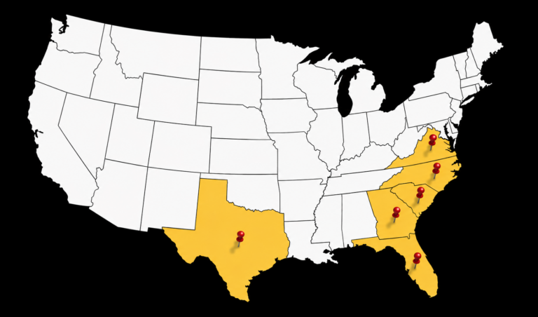
Serving the Southeastern U.S. & Beyond
- South Carolina
- North Carolina
- Virginia
- Florida
- Georgia
- Texas