3D point cloud rendering and model integration
Bringing Virtual Design to Life for Smarter, More Efficient Builds
Transforming 3D Scans into Actionable, BIM-Ready Digital Models
What is 3D Point Cloud Processing?
In modern construction, raw site data is not enough—it must be processed, structured, and
seamlessly integrated into digital workflows. That’s where 3D Point Cloud Rendering & Model
Integration comes in.
At Conway Coordination and Layout Services, (CCLS), we capture high-resolution 3D scans
and convert them into structured, BIM-ready models, providing architects, engineers, and
contractors with accurate, real-world site data for precise project execution.
With our advanced point cloud processing, we ensure that your as-built conditions align
perfectly with your design plans, helping to eliminate errors, enhance collaboration, and improve
construction efficiency.
Our 3D Point Cloud Services
-
Point Cloud Processing & Data Refinement
After capturing 3D scans, we clean, filter, and structure the data into accurate, high-resolution digital models, ensuring seamless integration into BIM workflows. -
BIM Model Conversion & Integration
We convert point cloud data into fully developed 3D models, making it easy to use in Revit, AutoCAD, Navisworks, and other design software. -
As-Built Verification & Deviation Analysis
Using high-precision comparisons, we detect discrepancies between the as-built structure and design intent, ensuring early detection of potential construction conflicts. -
Digital Twin Creation & Facility Management
We create fully interactive digital twins that provide real-time analysis, tracking, and ongoing management of buildings and infrastructure.
Why Use 3D Point Cloud Rendering & Model Integration?
Seamless BIM & CAD Integration
Convert scanned data into precise, ready-to-use 3D models.
Detect & Prevent Errors Early
Identify discrepancies between design models and real- world conditions before costly mistakes occur.
Enhanced Site Planning & Analysis
Utilize data-rich digital models to streamline construction coordination and execution.
Improved Trade Collaboration
Ensures all project stakeholders work from the same high- accuracy digital models, eliminating confusion.
Optimized for Prefabrication & Off-Site Manufacturing
Enables accurate digital modeling for efficient modular and prefab construction.
Optimize Your Project with 3D Model Integration.
Contact Us Today!
How Our 3D Point Cloud Process Works
Step 1: 3D Scanning & Data Capture
We conduct high-resolution site scanning, collecting millions of data points to create a comprehensive digital representation of your structure.
Step 2: Point Cloud Processing & Model Structuring
Raw point cloud data is cleaned, optimized, and converted into structured 3D formats for seamless BIM integration.
Step 3: BIM Model Integration & Analysis
The processed data is integrated into CAD/BIM software, enabling real-time visualization and design alignment with as-built conditions.
Step 4: Delivery & Digital Twin Optimization
We provide detailed deviation analysis, construction-ready models, and interactive digital twins to enhance coordination across all project phases.
Industries We Serve
CCLS provides Robotic Total Station layout services for:
Commercial & Industrial Construction
Manufacturing & Plant Facilities
Healthcare & Pharmaceuticals
Historic Preservation & Renovation
Frequently Asked Questions
How accurate is 3D point cloud modeling?
Our high-resolution scans capture data within millimeter precision, making them highly accurate for as-built documentation and construction verification.
Can point clouds be used for clash detection?
Yes! By integrating point cloud data into BIM software, we can identify potential design conflicts before construction begins, reducing costly rework.
How does 3D scanning help with prefabrication?
By providing precise digital measurements, we enable fabricators to produce components off- site with maximum accuracy and minimal waste.
How do I get started with 3D point cloud modeling for my project?
Call us at +1 (843) 283-4618 or email [email protected] to book your consultation!
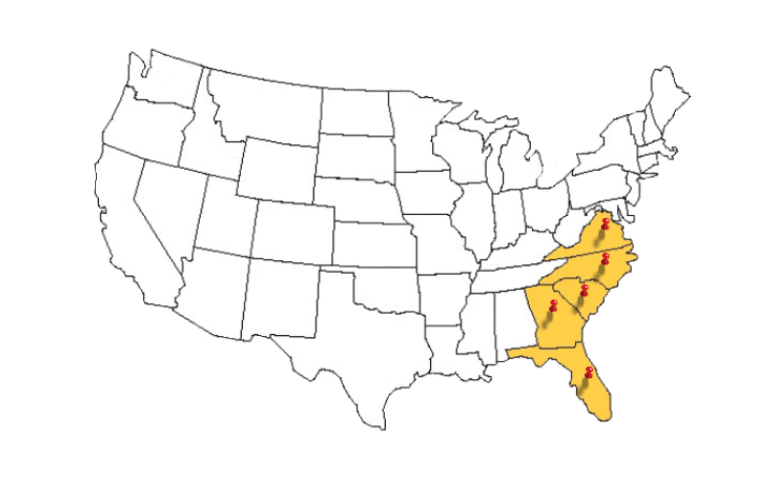
Serving the Southeastern U.S. & Beyond
- South Carolina
- North Carolina
- Virginia
- Florida
- Georgia