
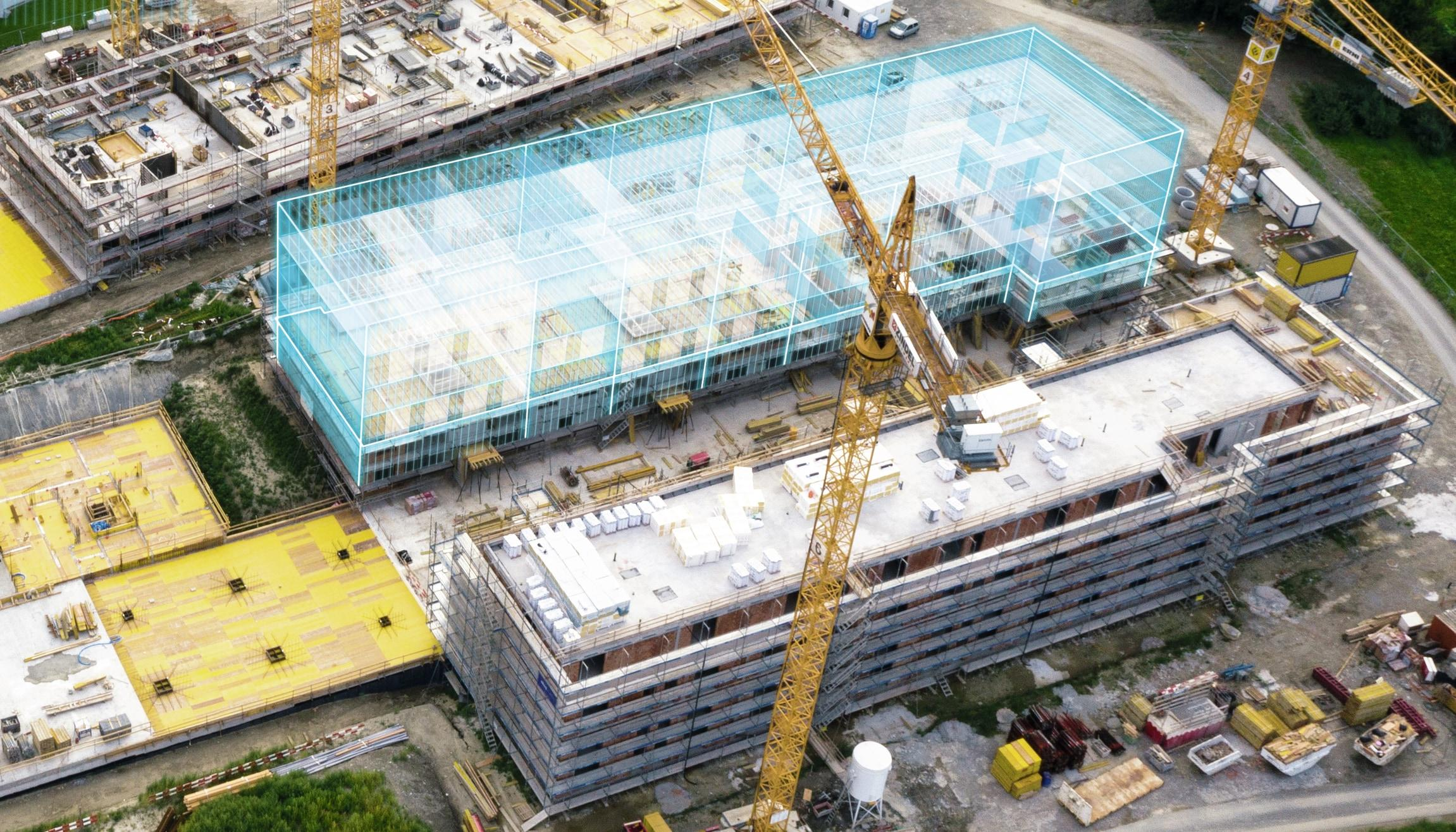
3D Scanning for Charlotte Construction and Renovation Teams
Reliable coordination begins with reliable existing-condition information. When drawings are incomplete, spaces are congested, or installation tolerances matter, a detailed digital record gives the team a better foundation for planning and decisions.
CCLS provides 3D scanning services in Charlotte, NC for contractors, designers, trade partners, fabricators, owners, and facility teams. We plan the capture around the decision the data must support—such as renovation design, MEP coordination, prefabrication, installation verification, progress documentation, or scan-to-BIM modeling.
The work does not end when the scanner leaves the site. We define the coordinate strategy, coverage, processing, quality checks, deliverable format, and downstream handoff before capture begins so the final information can be used by the project team.
Charlotte Projects Depend on Current Digital Information
Charlotte and Mecklenburg County use electronic workflows for commercial plan review, revisions, and project tracking. Accurate existing-condition data can support the design and coordination work surrounding those digital submissions, especially when teams are planning renovations, phased construction, or work in occupied facilities. Current review information is available from Mecklenburg County Code Enforcement.
CCLS does not provide code review, permit approval, boundary surveying, or the professional design responsibilities of the architect or engineer of record. Our role is to capture and organize field conditions for the construction, documentation, modeling, and coordination uses defined in the project scope.
That distinction matters: the capture plan, control requirements, tolerances, and deliverables should be selected for the intended use rather than assumed from a generic scanning package.
Charlotte 3D Scanning Services from CCLS
Scopes can focus on one area or support a broader building, site, or multi-phase program. The following services can be combined around the project’s priorities.
Existing-Condition Capture
Document visible architectural, structural, equipment, and building-system geometry so the team can evaluate current conditions without relying solely on record drawings or repeated hand measurements.
Renovation and Retrofit Documentation
Capture spaces before demolition or design development to help teams understand clearances, routing constraints, tie-in conditions, and areas that need additional investigation.
MEP and Structural Coordination Support
Provide spatial information that can be referenced during coordination of duct, pipe, conduit, equipment, steel, openings, and access zones in complex existing environments.
Construction Verification
Record installed conditions at an agreed milestone so the team can compare field geometry with design or coordination information and investigate material deviations.
Scan-to-BIM Support
Translate agreed existing-condition geometry into a model suited to the project’s intended level of detail and use. CCLS can connect the capture with our Charlotte BIM modeling services.
Progress and Closeout Records
Capture selected phases or completed areas to create a visual and spatial record for coordination, turnover planning, future renovations, or facility reference.
What We Confirm Before Scanning Begins
A clear scope protects the usefulness of the data. CCLS reviews the following items before finalizing field coverage and deliverables.
The Decision the Data Must Support
Renovation design, prefabrication, coordination, verification, documentation, layout, or another defined use. The purpose determines what must be visible and how the data should be processed.
Area and Coverage
Buildings, floors, rooms, equipment, façades, overhead systems, concealed-area limitations, and any transitions or tie-in zones that must be captured.
Access and Site Conditions
Working hours, escorts, occupied areas, active trades, shutdowns, restricted spaces, safety orientation, lighting, and any surfaces or systems that may be temporarily obstructed.
Coordinates and Control
The project coordinate system, available control information, required relationship to design models, and the party responsible for any licensed survey control outside the CCLS scope.
Accuracy and Modeling Expectations
The features and tolerances that matter to the intended decision, plus the level of detail and assumptions required if point-cloud information will be converted into modeled geometry.
Deliverables and Platforms
Registered point-cloud information, reference views, 2D or 3D documentation, coordination models, comparison outputs, or other agreed files compatible with the team’s workflow.
Our Charlotte Reality-Capture Workflow
1. Scope and Source Review
CCLS reviews drawings, models, photos, site constraints, target areas, and downstream uses. Missing inputs and exclusions are documented before mobilization.
2. Capture Planning
The team establishes coverage, scan positions, access sequence, coordinate requirements, safety considerations, and field checkpoints around the active project environment.
3. Field Capture
Visible conditions are recorded from overlapping positions selected for the agreed coverage. Field checks help identify gaps or obstructions while the team is still on site.
4. Registration and Quality Review
Captured positions are combined, cleaned as appropriate, and reviewed against the agreed control and coverage requirements. Exceptions and limitations are documented rather than hidden.
5. Deliverable Production
The registered information is packaged directly or used to develop the agreed drawings, model geometry, comparison views, or other project outputs.
6. Handoff and Clarification
CCLS confirms revision status, file organization, coordinate information, and known limitations so downstream users understand what was captured and how the deliverables should be applied.
Where Charlotte Teams Use 3D Scanning
Commercial Renovations and Upfits
Document existing walls, structure, ceilings, equipment, and building systems before new work is coordinated around occupied or previously modified spaces.
Healthcare and Institutional Facilities
Plan capture around access windows and active operations while documenting dense systems, equipment rooms, corridors, and renovation interfaces.
Industrial and Manufacturing Environments
Record equipment zones, overhead utilities, support steel, platforms, and connection conditions for upgrades, replacement planning, and coordination.
MEP Prefabrication
Use current spatial information to evaluate routing and connection conditions before assemblies are released for off-site fabrication or installation.
Structural and Architectural Verification
Compare agreed field features with current design or coordination information to investigate alignment, openings, embeds, interfaces, and other conditions that affect follow-on work.
Closeout and Future Planning
Create an agreed record of accessible conditions for turnover reference, later facility work, capital planning, or future renovation scoping.
Deliverables Built Around the Next Step
The same scan data can support very different outcomes, so deliverables should be selected before capture—not after the field work is complete.
- Registered point-cloud information for measurement, visualization, or downstream modeling
- Project-aligned reference files for use alongside current drawings and coordination models
- Agreed 2D documentation derived from visible captured conditions
- Scan-to-BIM geometry developed to the level of detail and systems defined in scope
- Comparison views or reports for agreed verification checkpoints
- Images, viewpoints, and notes that help downstream users navigate the captured areas
- A handoff record describing coordinate information, revision status, exclusions, and known limitations
If the information will support field layout, CCLS can also coordinate the handoff with our construction layout services in Charlotte.
Charlotte 3D Scanning FAQs
When should scanning be scheduled?
Schedule capture when the required conditions are visible and before demolition, concealment, fabrication, or installation decisions make the information difficult or expensive to obtain. The right timing depends on the project use.
Does scanning replace a licensed survey?
Not automatically. Scanning can complement project control and document visible conditions, but boundary, topographic, and other regulated survey services must be provided by the appropriately licensed professional when required.
Can an occupied facility be scanned?
Often, yes. The scope should address access windows, escorts, privacy or security requirements, active operations, temporary obstructions, and areas that cannot be captured during normal use.
Can scan data be used in BIM coordination?
Yes. Registered point-cloud information can be referenced directly or used to develop agreed model geometry for renovation planning, coordination, comparison, and other construction workflows.
How much of the building should be captured?
Coverage should follow the decision area, not an arbitrary room count. Tie-in zones, access routes, overhead systems, adjacent structure, and interfaces may matter even when the design work is concentrated in a smaller area.
What affects schedule and pricing?
Primary drivers include the area and complexity, access, active-site restrictions, coordinate requirements, required coverage, processing needs, deliverable type, modeling detail, and review cycles.
Plan a Charlotte 3D Scanning Scope
Share the project location, areas to capture, current drawings or photos, access restrictions, target milestone, and the decision the data needs to support. CCLS will help define the required coverage and deliverables before field work begins.